The King's Forest
Description:
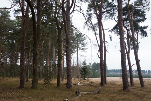
The King's Forest
A vast and very actively managed Forestry Commission coniferous plantation straddling the B1106 between Bury St Edmunds and Thetford and originally mapped nearly 30 years ago in conjunction with CUOC After a long period when access was denied, sections on both sides of the B1106 have now been mapped and the mapped areas are still continuing to grow. The current subdivisions include Wordwell, which is an expanded version of the original King's NE map, plus North & West Stow, both to the west of the B1106 & overlapping the original King's N area.
Currently listed as three maps:
Next Event:
Sunday, 4 November, 2018
Next Event Publicity: